Drones for Agriculture

drones for agriculture,spreading,seeding,spraying,field mapping,crop monitoring,fertiliser spreading,cricket bait spreading,maize seeding,corn seeding,pasture seeding,drone spreading,drone seeding,drone spraying,drone field mapping,drone crop monitoring,livestock management,drone livestock management,precion spraying,precision farming,crop health monitoring,drone,drone monitoring,agricultural drone,drone for agriculture,Agricultural drones in Victoria,Drones for agriculture in Victoria,Spray drones Victoria,Mapping drones Victoria,Spreading drones Victoria

Agricultural Drones Webber & Chivell

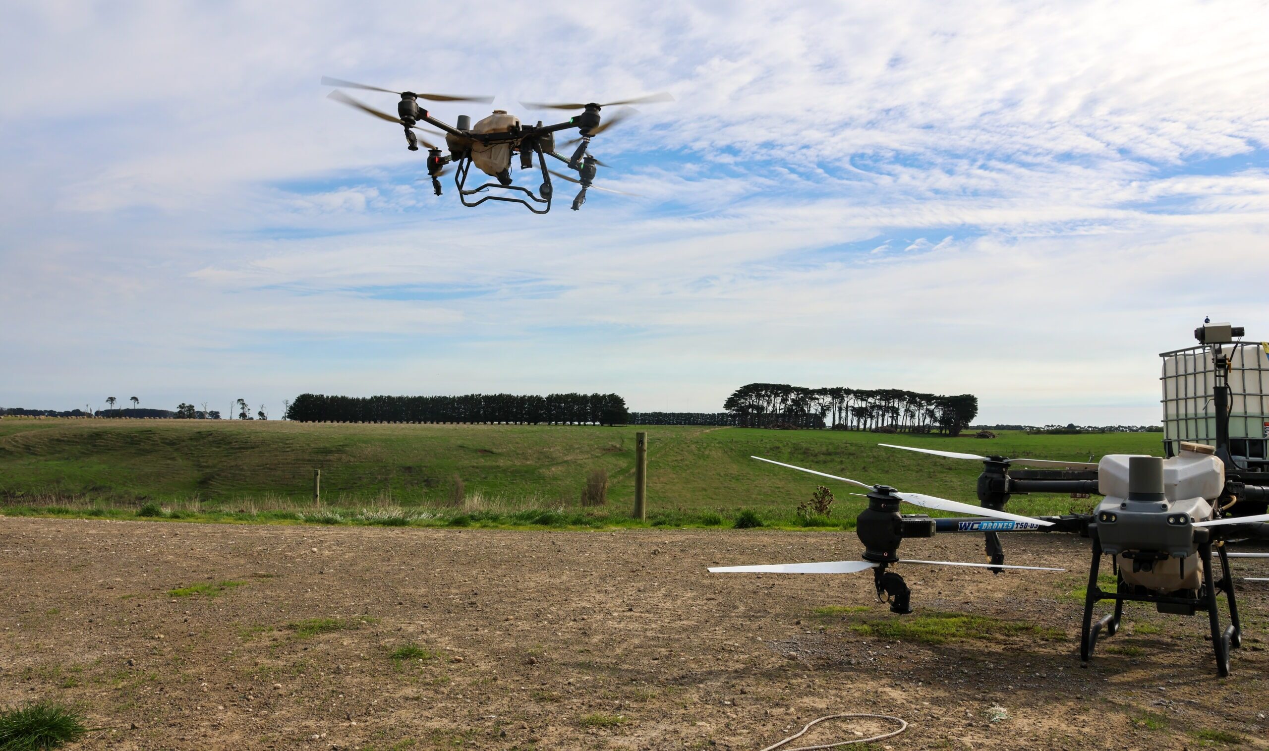
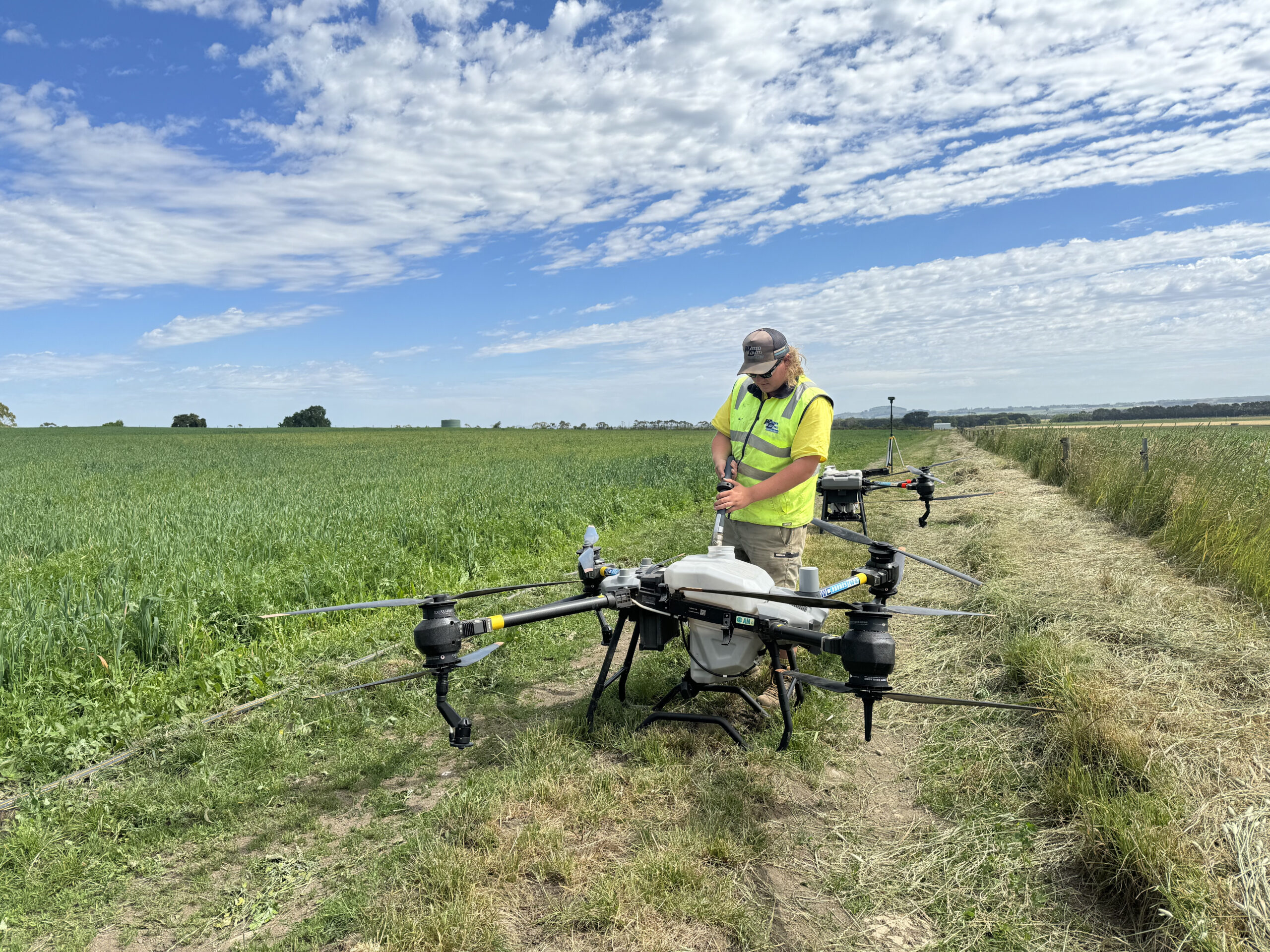
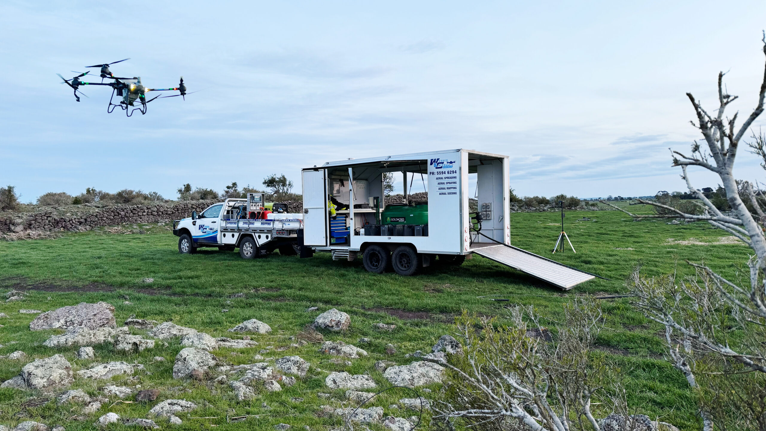
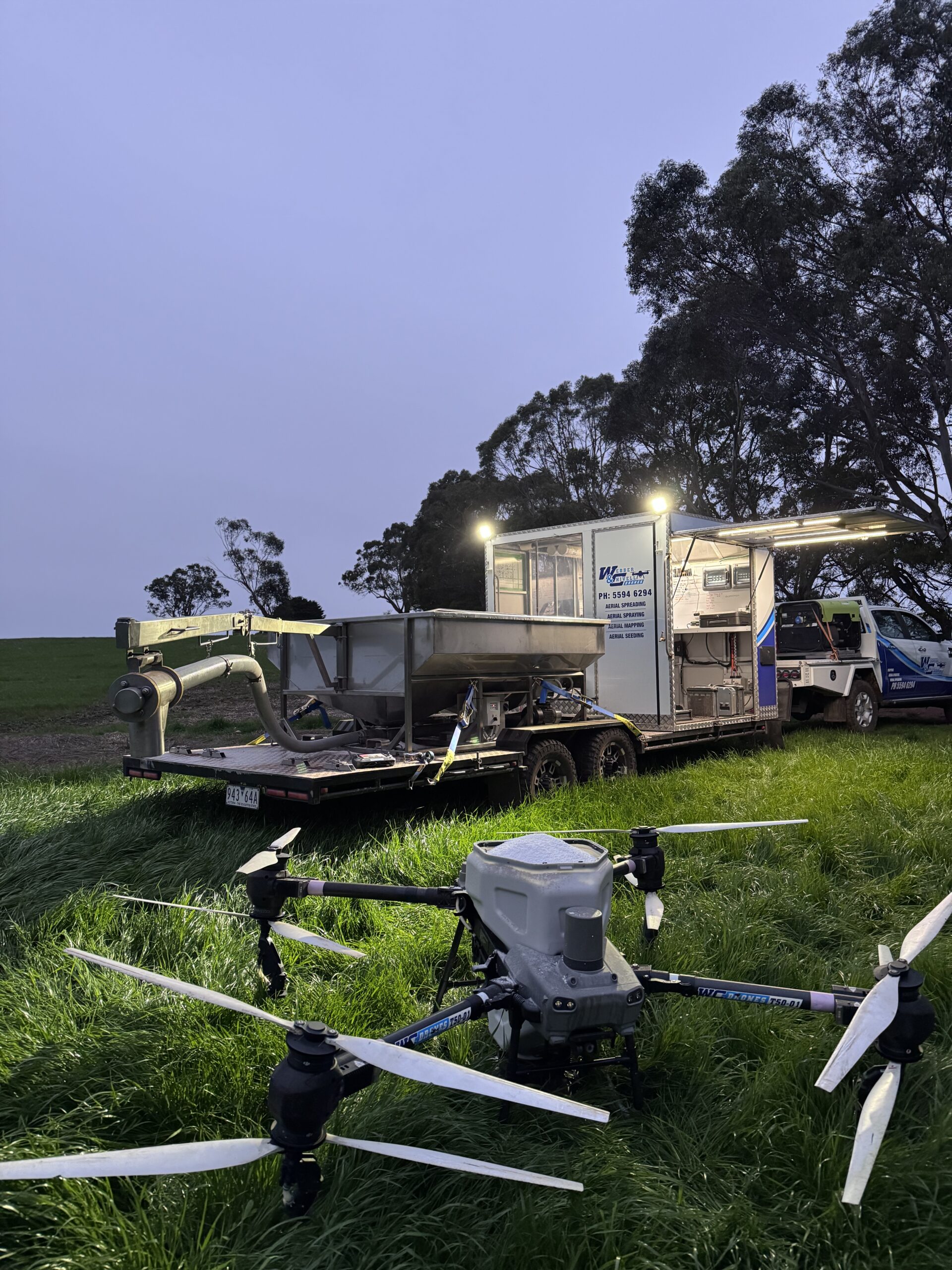
In modern agriculture, the integration of new technologies is revolutionizing traditional farming. Drones are a indispensable tool in cultivation.

Not only are crops closely monitored by drones, the soil is too. Giving insights in nutrient budget management. Drone observation significantly decreases labour costs and makes monitoring available under challenging conditions such as after heavy rainfall and tough terrain, streamlining processes.

Webber and Chivell provides drone services in spreading, seeding, and spraying. Also mapping and field and crop monitoring is done, giving insights in nutrient budget management.

As technology continues to advance, the agri-sector stands to benefit from drones, creating a more resilient and efficient food and feed production.

Agricultural Drone Services Webber & Chivell

  • Crop monitoring: Drones enable farmers to monitor crop health and growth patterns accurately. It allows farmers to detect diseases, pests, and nutrient deficiencies in early stages of crop growth.
  • Precision spraying: Drones can spray pesticides or fertilisers very precisely. Minimizing the use of chemicals and reducing environmental impact and costs.
  • Aerial seeding: Drones can distribute seeds in a large area quickly. This is useful for areas that are challenging to access and in areas where traditional methods are inefficient.
  • Livestock management: Health of herds can be assessed with aerial devices, saving labor costs in large areas. Moreover, it helps to identify issues such as health problems or stress. Also, the condition and availability of pastures can be seen, offering benefits in pasture management.
  • Mapping and surveying: Detailed information about topography and soil composition can be acquired with UAV’s. This aids in planning and allocation of resources.