Soaring above the treetops and gliding over water, drones have taken root in forestry. Picture, a drone equipped with state-of-the-art sensors and camera’s, elevating efficiency and environmental sustainability.
With precision mapping capabilities, drones became a valuable tool in forestry. No longer are foresters bound by the constraints of ground-level observation. The secrets from the sky unfold. Giving access to high-resolution data enables foresters to assess things that cannot be seen with the naked eye. Enhancing yields, efficiency, reducing environmental impacts and enhancing sustainable forestry practices.
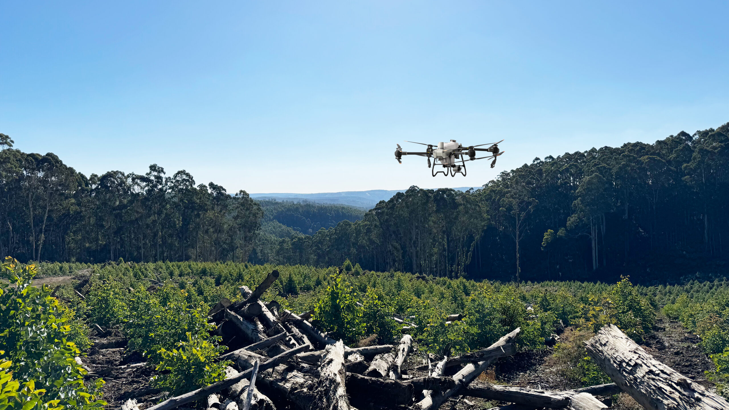
In forestry, trees are often planted on steep or difficult terrain where manual or backpack spraying could be hazardous. Drones provide safe, efficient aerial spraying and spreading, reducing risk to workers and improving coverage and efficiency.
Drones make sustainable and safe forest practice become reality, and pave the way for a future in forestry.