Aerial management and field mapping with drones provides you with precise data on acreages. Drones make work simple and efficient, even when terrain is dangerous or difficult. Our services meet the needs of forestry, agriculture, mining, and government bodies.
Aerial management in forestry can be hard and time consuming. Drones provide detailed insights into the conditions and vegetation. Identifying hazards such as disease outbreaks or potential fire risks. Optimising resources and biodiversity. Drones allow forests to be mapped prior to spraying or spreading, improving efficiency and significantly increasing safety.
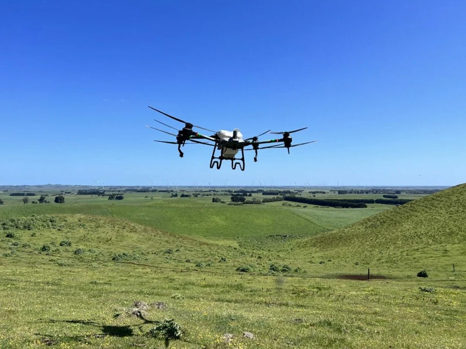
In agriculture, total acreages of farms are increasing, reducing the possibility to check crops properly. Drones can map plots giving insights in irrigation, fertilisation, and pests. Not only increasing crop yields but promoting a more sustainable approach too. Drone mapping before spreading, spraying and seeding allows for optimal resource utilisation and covering of the hard-to-reach areas easily.
Aerial management and field mapping with drones provides you with precise data on acreages. Drones make work efficient, even when terrain is dangerous or difficult in agriculture.
For government departments, drone services offer fast, accurate, and cost-effective tools for land management. High-resolution aerial mapping provides detailed insights for planning, compliance, and environmental monitoring. Our drones can also support spraying and spreading programs, from weed management to vegetation control, improving efficiency, coverage, and safety in hard-to-reach areas.
Whether it’s optimising forest management, supporting precision agriculture initiatives, or delivering large-scale mapping projects, our government-focused drone solutions provide the technology and reliability needed to get the job done. Contact us to discuss drone solutions for government bodies!